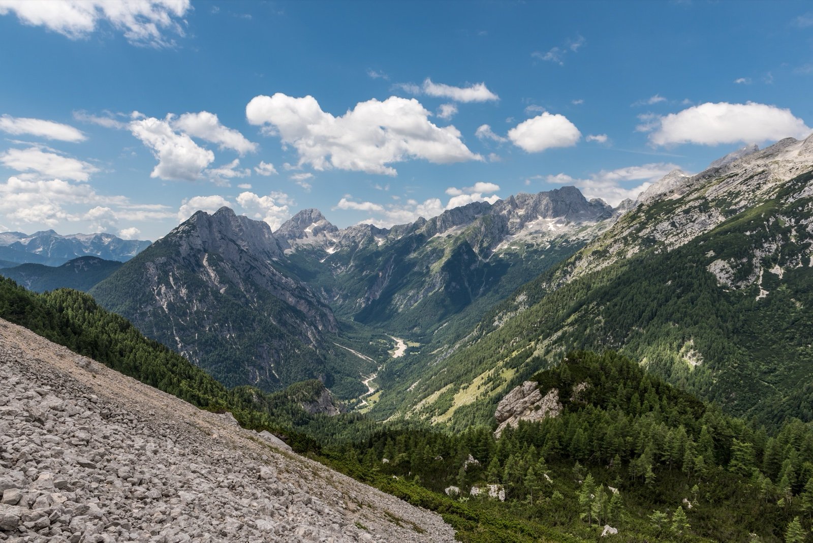
Triglav National Park
Slovenia’s only national park: 840 km² of the eastern Julian Alps around the 2,864 m Triglav, from the Tolmin gorges at 180 m to the Triglav Lakes Valley, protected since 1924.
- 324 mi²Area
- 591 ft to 9,396 ftElevation
- 1981Established
At a glance
- Slovenia’s only national park, named after the Triglav, the country’s highest peak
- 840 km² of the eastern Julian Alps, 4% of Slovenia’s territory
- From 180 m in the Tolmin gorges to 2,864 m on the Triglav summit
- Protected since 1924 in the Triglav Lakes Valley, a national park by law since 1981
- Inside the Julian Alps biosphere reserve, recognised by UNESCO in 2003
- No tents or overnight stays outside designated places: the mountain huts have enough beds
Where to stay
Hotels, guesthouses and rentals around Triglav National Park
Check availability with our partners
Affiliate links: if you book through them, we earn a commission. The price you pay does not change. How this site is funded
Mountain huts
- Hut Goreljek na Pokljuki4,196 ft
- Trenta Lodge2,047 ft
- Vrata Hut3,117 ft
- Vršič Hut5,367 ft
Nearby villages and towns
Bohinjska BistricaClosest
8.7 mi as the crow flies
Also close to Lake Bled
See hotels
Prices and access
| Parking, Per vehicle | €15 |
|---|
Source: Triglavski narodni park
How the visit runs
Bohinj and its lake
The Triglav National Park Centre stands at Stara Fužina 37-38, by Lake Bohinj. From the village, the Mostnica gorges and the path around the lake start on foot.
Bled and the Pokljuka plateau
The Infocenter Triglavska roža in Bled, Ljubljanska cesta 27, is one of the park’s three main information centres. Two of the gorges described below, Vintgar and Pokljuka, are also in the park.
Mojstrana and the Vrata valley about 11 km
The valley runs from Mojstrana to the foot of the Triglav north face. The park recommends going in on foot or by public transport; cars pass a barrier.
Trenta and the upper Soča
Dom Trenta, Na Logu v Trenti, is the park’s centre on the Soča side. The Soča trail follows the river from its source down to Bovec, and the Lepena valley branches off near the Great Soča gorges.
Kobarid and Tolmin
The Zelena hiša info point at the Kobarid tourist office, Trg svobode 16, is the park’s info point in Kobarid. The Tolmin gorges hold the park’s lowest point.
Gorges, valleys and lakeside paths by length
| Walk | Length | Where | Notes |
|---|---|---|---|
| Around Lake Bohinj | just over 11 km | Bohinj | Can be shortened to the north or south shore; a 2 km family loop at Ukanc |
| Mostnica gorges | about 2 km | Above Stara Fužina | An easy outing; Stara Fužina bus stop |
| Pokljuka gorge | about 2 km | Pokljuka | Loop through the largest fossil gorge in Slovenia, up to 50 m deep |
| Vintgar gorge | 1,600 m | Near Bled | Walls 50 to 100 m high, rapids, pools and potholes |
| Triglavska Bistrica trail | 11 km one way | Mojstrana to the Triglav north face | 4 km to the Koča pri Peričniku, past Aljažev dom |
| Lepena valley | about 5 km | From the Great Soča gorges | Leads to the Lemež and Kaluder; trail and footbridge works from July 2026 |
| Soča trail | 25 km | Source of the Soča to Bovec | No technical difficulty |
Source: Triglav National Park, pages on sights and trails (2026).
Where the park’s information desks are
| Centre | Address | Side of the park |
|---|---|---|
| Infocenter Triglavska roža | Ljubljanska cesta 27, Bled | Bled |
| Triglav National Park Centre | Stara Fužina 37-38, Bohinjsko jezero | Bohinj |
| Dom Trenta | Na Logu v Trenti | Soča valley |
| Pocarjeva domačija | Zgornja Radovna 25, Mojstrana | Radovna |
| Zelena hiša info point | Trg svobode 16, Kobarid | Kobarid |
| Slovenian Alpine Museum | Triglavska cesta 49, Mojstrana | Mojstrana |
Source: Triglav National Park, information centres page (2026).
Before you go
- Tents and overnight stays are not allowed outside designated places; sleep in mountain huts, campsites, private rooms or one of the few hotels.
- Camper vans cannot stay overnight on the park’s car parks: for now only campsites allow it.
- Fire is banned in the natural environment, except at fitted fireplaces, for farming and for forest protection.
- Drones need the manager’s prior consent in the natural environment; aircraft must also stay at least 304.8 m above the highest point or obstacle.
- Dogs stay on a lead in the natural environment, keep away from grazing livestock and may not swim in high-mountain lakes.
- Swimming is banned in high-mountain lakes and streams; the park’s FAQ names the lakes of the first protection zone.
- Bikes are banned in the natural environment, but allowed on roads open to traffic, open forest roads and paths designated by the management plan; not on the forest paths of the Lepena valley.
- Mushrooms and herbs: no mushroom picking in protection zones 1 and 2; in zone 3, up to 2 kg of mushrooms a day per person; herbs are allowed for personal use, 1 kg per person, in zone 3 only.
- Mountain gear: high boots, warm clothes, a map, an altimeter and a compass.
What is allowed
| Topic | Rule | Source |
|---|---|---|
| Wild camping (bivouac) | Not allowed | Triglavski narodni park |
| Camping | Not allowed | Triglavski narodni park |
| Fires | Not allowed | Triglavski narodni park |
| Dogs | Restricted | Triglavski narodni park |
| Drones | Not allowed | Triglavski narodni park |
| Swimming | Not allowed | Triglavski narodni park |
| Cycling | Restricted | Triglavski narodni park |
| Motor vehicles | Not allowed | Triglavski narodni park |
| Picking plants | Restricted | Triglavski narodni park |
Rules checked with the site manager on October 14, 2026. They can change at short notice: check before you go.
How to get there
Triglav National ParkGateway towns
- Ljubljana Jože Pučnik Airport50 kmTriglav National Park
To Bohinj, by rental car, taxi or bus.
- Ljubljana Jože Pučnik Airport34 kmTriglav National Park
By road to Bled, home of the park’s Infocenter Triglavska roža.
- Slovenian Alpine Museum, Mojstrana11 kmTriglav National Park
Along the Triglavska Bistrica trail to the Triglav north face, one way.
Combine in the same day
Lake Bled is 12 mi away. Staying in Bohinjska Bistrica puts both within easy reach.
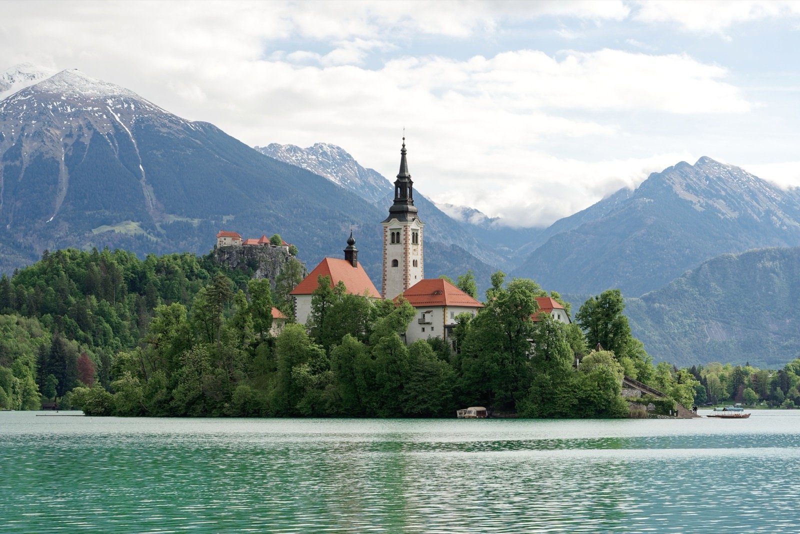
Triglav National Park takes its name from the Triglav, at 9,396 ft the highest summit in Slovenia, which rises almost at the centre of the park. It covers the north-west of the country along the Italian border, close to Austria, in the eastern Julian Alps.
The lowest point lies far below the summit, at 591 ft in the Tolmin gorges. Between the two, the park spreads over 324 mi², 4% of Slovenia’s territory.
From a valley of lakes in 1924 to the law of 1981
Protection began with one high valley and grew outwards:
- 1908: a first proposal for a protected park.
- 1924: an Alpine Protection Park is created in the Triglav Lakes Valley.
- 1961: a decree proclaims the same valley, now 2,000 ha, the “Triglav National Park”.
- 1981: the Triglav National Park Act sets up the park as it stands today.
- 2003: the Julian Alps join UNESCO’s network of biosphere reserves.
- 2004: the park receives the Council of Europe Diploma, renewed in 2009 and 2019.
- 2010: a new law extends the park to the village of Kneške Ravne.
- December 2016: the manager is awarded the European Charter for Sustainable Tourism in Protected Areas, granted by the Europarc Federation.
Eight municipalities and 134 quiet zones
Thirty-three settlements lie within the park, 21 entirely and 12 in part. Eight municipalities share its area:
- Bovec, 30.1% of the park, and Bohinj, 26.3%.
- Kranjska Gora, 16.9%, and Gorje, 12.7%.
- Tolmin, 8.4%, and Kobarid, 3.7%.
- Bled, 1.8%, and Jesenice, 0.1%.
The park is classed in IUCN category II, with part of its territory in category V as protected landscape, and almost all of it is a Natura 2000 special protection area and special area of conservation. Inside it, the manager has set out zones where visits and activities are limited in time and space:
- 134 quiet zones in all.
- They protect peat bogs and the habitat of the capercaillie, the ptarmigan, the black grouse and the chamois.
- Off-trail walking is not recommended: the sensitive ground calls for marked paths.
Counting walkers with infrared sensors
- The park counts its visitors with 26 passive infrared sensors.
- They stand on the Triglav, in the Triglav Lakes Valley and in the alpine valleys.
- Fifteen of them send their figures every day.
Canyoning, boats and filming: what needs the park’s consent
Some activities are open to all, others go through the Public Institution Triglav National Park first:
- Canyoning needs the manager’s consent, in groups of nine people at most. In the Fratarica and Predelica gorges at Log pod Mangrtom, a fee per group is paid through an app: €22 and €32 in the park’s 2026 pages.
- Boating on Lake Bohinj needs no consent from the park, on the whole lake and all year round.
- Commercial filming in the Vintgar gorge and elsewhere in the park requires permission from the park institution (for photographs, only drone shots); documentary and promotional drone shoots are possible with its agreement.
- Guided walks are run on request, from easy valley outings to demanding high-mountain tours, alongside a yearly programme of events.
Frequently asked questions
Is there an entrance fee for Triglav National Park?
No, according to the Bled tourist board: the park has no special entry points, you can enter it anywhere, and only some attractions charge. Cars entering the Vrata valley get one free hour, then pay €15 a day from 16 September to 15 November 2026.
Can you wild camp in Triglav National Park?
No. Camping and overnight stays are allowed only in designated places, and the park points out that its mountain huts have enough beds. Camper vans may spend the night only in campsites.
Can you fly a drone in Triglav National Park?
Not without the manager’s prior consent in the natural environment. Rescue, defence and police flights are exempt, and documentary or promotional shoots can be agreed with the park.
Is Lake Bohinj in Triglav National Park?
Yes. The park describes the area around Lake Bohinj as inside Triglav National Park, and boating on the lake needs no consent from the park, all year round.
Can you swim in the lakes of Triglav National Park?
Not in the high-mountain lakes and streams: swimming is banned in the lakes of the first protection zone, for people and for dogs.
Are dogs allowed in Triglav National Park?
Yes, on a lead in the natural environment. They must keep away from grazing livestock and may not swim in high-mountain lakes.
How do you get to Triglav National Park by public transport?
Daily buses run from Ljubljana bus station to Bled, Bohinjska Bistrica and Ribčev Laz, and the Bohinj railway between Jesenice and Nova Gorica serves Bohinj. In summer, buses and trains also run in and around the park.
How big is Triglav National Park?
840 km², about 4% of Slovenia. Eight municipalities share it, Bovec and Bohinj holding the largest parts.
Other protected areas nearby
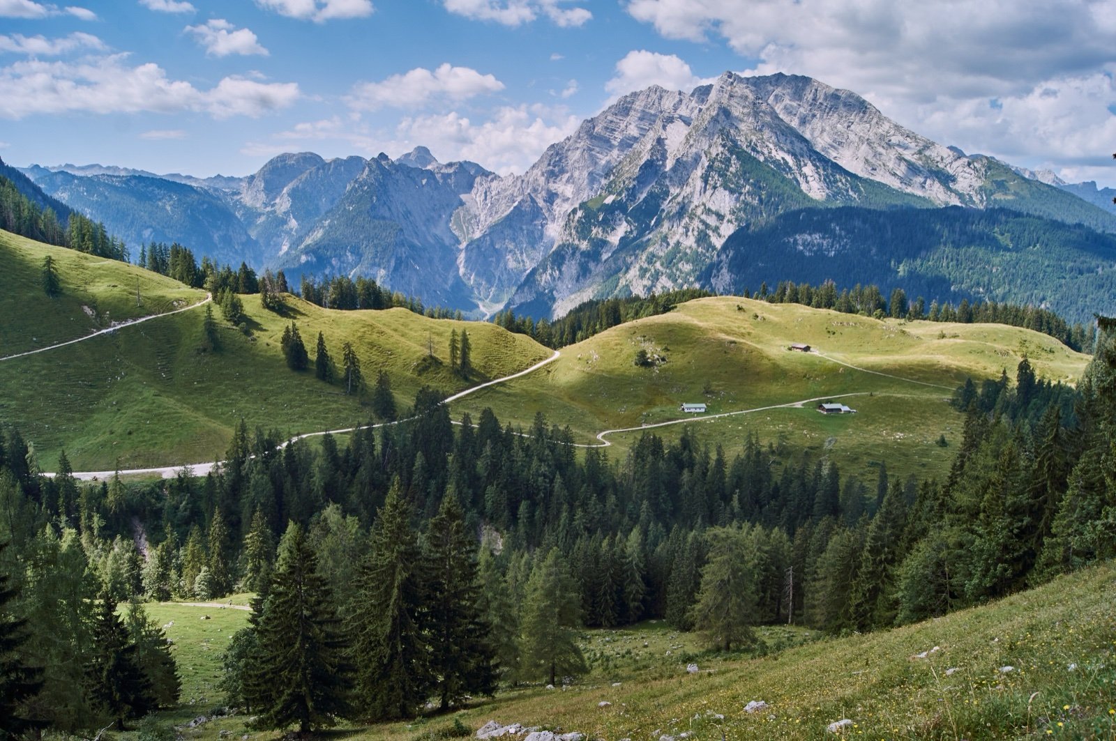
Berchtesgaden National Park
7,546 ft from the floor of the Königssee to the Watzmann summit.92 mi awayNational park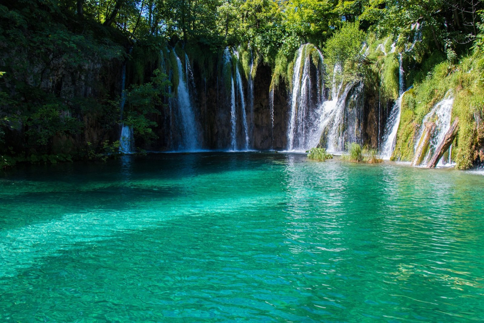
Plitvice Lakes National Park
16 lakes spilling into one another over natural walls of tufa.134 mi awayNational park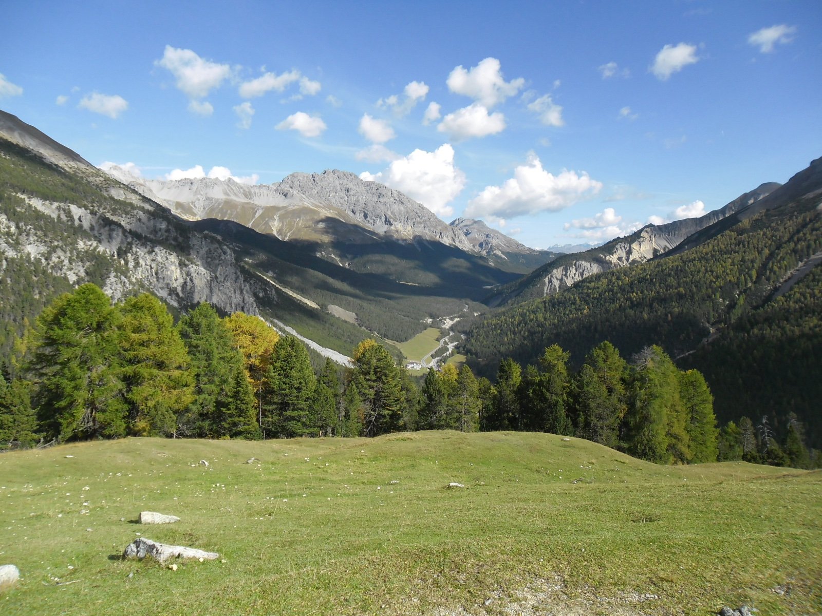
Swiss National Park
1914: the oldest national park in the Alps, a strict wilderness.180 mi awayNational parkSources
9 sources
- Triglavski narodni park consulted on October 14, 2026
- Turizem Bohinj (site officiel de la destination) consulted on October 14, 2026
- OpenStreetMap consulted on October 14, 2026
- Wikidata consulted on October 14, 2026
- Wikipedia consulted on October 14, 2026
- Wikipedia (de) consulted on October 14, 2026
- Wikipedia (en) consulted on October 14, 2026
- Wikipedia (es) consulted on October 14, 2026
- Wikipedia (fr) consulted on October 14, 2026