

Luberon Regional Nature Park
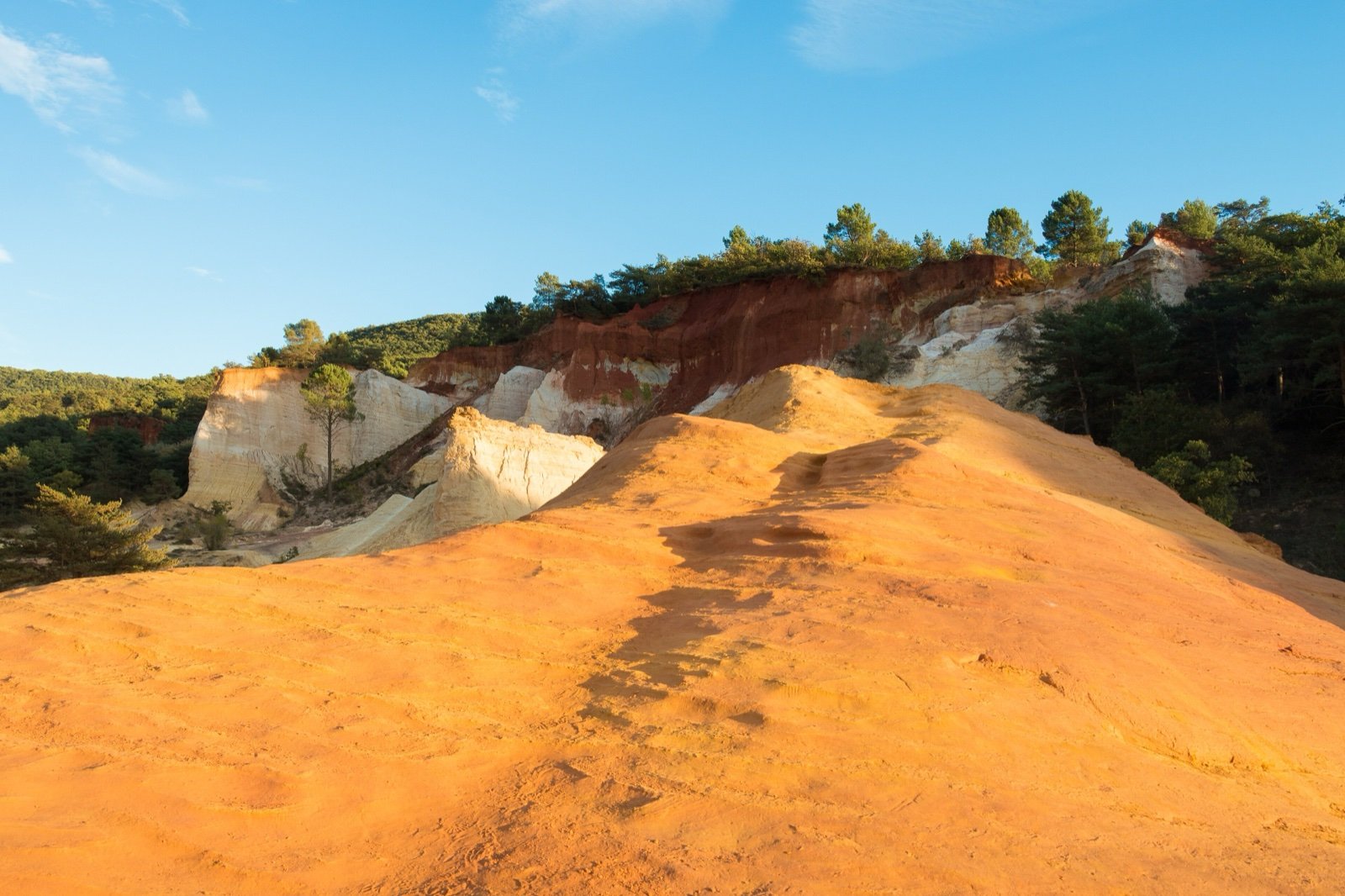
Perched villages, ochre cliffs and fossil beds between the Vaucluse and the Alpes-de-Haute-Provence: a UNESCO Global Geopark whose forests close on high fire-risk days from 15 June to 15 September.
- 714 mi²Area
- 1977Established
At a glance
- A UNESCO Global Geopark, in the Geoparks network since 2004
- A national geological nature reserve: 28 fossil sites in 31 communes, some with mammal footprints
- 1,800 plant species, close to a third of the flora of France
- Perched villages built from the year 1000 around fortified castles
- 185,000 hectares and 77 communes, according to the Fédération des Parcs
- From 15 June to 15 September, access to the forests depends on the daily fire risk
Where to stay
Hotels, guesthouses and rentals around Luberon Regional Nature Park
Check availability with our partners
Affiliate links: if you book through them, we earn a commission. The price you pay does not change. How this site is funded
AptClosest
On site
See hotelsCavaillon
18 mi as the crow flies
See hotelsManosque
19 mi as the crow flies
See hotels
How the visit runs
Cavaillon, western end of the park 33 min by train from Avignon at the quickest
The colline Saint-Jacques at Cavaillon is one of the busiest sites of the park, where young forest guards are posted in summer.
The cedar forest of the Petit Luberon
The forêt des Cèdres, its car park and the three waymarked trails around it are among the exempt sites that stay open when the fire risk is red.
Apt and the Maison du Parc
An 18th-century town house at 60 place Jean-Jaurès holds the permanent exhibition, the musée de géologie and the park shop, with an interactive map of nearly 200 points of interest.
The ochre country: Roussillon and Rustrel
Ôkhra, the ochre ecomuseum at Roussillon, and the blue trail of the Colorado provençal at Rustrel are also exempt on red fire-risk days.
La Thomassine, Manosque
The park’s house of domestic biodiversity, at 2298 chemin de La Thomassine, keeps orchards of more than 70 apple varieties; open spring and autumn, with a guided tour at 2pm.
Summer fire-risk levels and the Luberon forests
| Level | Access to the forests | Exempt sites |
|---|---|---|
| Extreme (red E) | Banned at all hours | None |
| Very severe (red) | Banned | Forêt des Cèdres, Colorado provençal blue trail, Ôkhra, among others |
| Severe (yellow) | Allowed, mornings advised |
Source: Parc naturel régional du Luberon, summer forest access page for the Vaucluse (read October 2026).
Before you go
- Summer access: from 15 June to 15 September, prefectoral orders set access to the forests each day; the level for the next day is published from 6pm on risque-prevention-incendie.fr/vaucluse or on 04 28 31 77 11.
- Bivouac: banned in all Vaucluse forests from 15 June to 15 September, whatever the risk level; the rest of the year it may be tolerated with the landowner’s agreement.
- Wild camping is banned all year in the Vaucluse forests.
- Fire and smoking: forbidden all year within 200 m of the forests.
- Motor vehicles: banned from 15 June to 15 September on unsurfaced tracks and on the Vidauque and Trou du Rat roads; the rest of the year, only on roads open to traffic.
- Private land: most of the Luberon is privately owned; the park asks walkers to keep to waymarked paths.
- Fossils and plants: the park asks visitors not to take minerals or fossils and to avoid picking wild plants.
- Guardian dogs: stop, do not stroke or threaten the dog, give the flock a wide berth and get off your bike.
- Hunting: drives start in early autumn; the park publishes a code of conduct, Luberon attitude chasse.
What is allowed
| Topic | Rule | Source |
|---|---|---|
| Wild camping (bivouac) | RestrictedOctober to May | Parc naturel régional du Luberon |
| Wild camping (bivouac) | Not allowedJune to September | Parc naturel régional du Luberon |
| Camping | Not allowed | Parc naturel régional du Luberon |
| Fires | Not allowed | Parc naturel régional du Luberon |
| Motor vehicles | Restricted | Parc naturel régional du Luberon |
Rules checked with the site manager on October 16, 2026. They can change at short notice: check before you go.
When to go
- Access restricted on some days June to September
How to get there
Luberon Regional Nature ParkGateway towns
- Paris2 h 33 at the quickestLuberon Regional Nature Park
To Avignon, 3 h 38 on average, 26 trains a day (SNCF Connect, read October 2026); Paris to Aix-en-Provence takes 2 h 54 at the quickest.
- Lyon51 min at the quickestLuberon Regional Nature Park
To Avignon, 2 h 03 on average, 34 trains a day (SNCF Connect, read October 2026).
- Marseille49 min at the quickestLuberon Regional Nature Park
To Avignon, 1 h 24 on average, 39 trains a day (SNCF Connect, read October 2026).
- Avignon33 min at the quickestLuberon Regional Nature Park
To Cavaillon, 58 minutes on average, 17 trains a day (SNCF Connect, read October 2026).
Geologists know the area around Apt for its grey fossil-bearing marls of the Aptian, a stage of the international geological time scale.
The park was created on 31 January 1977, the 17th regional natural park in France according to French Wikipedia. On 10 June 2026 the Prime Minister approved the decree of the 2026-2041 charter, renewing the classification for fifteen years.
Footprints in stone and a geology you can read
The national geological nature reserve, managed by the park, protects deposits of vertebrates, insects and plants preserved in fine detail. French Wikipedia gives it 397.74 hectares, a figure the park does not confirm.
- Rounded crests along the Grand Luberon.
- Rocky combes cutting into the Petit Luberon.
- Coloured ochres among the pines.
- Grey marls standing in buttes.
The park joined the Geoparks network in 2004 and became a UNESCO Global Geopark once that programme was created in 2015.
Villages on the heights, stone in the fields
The territory falls into 8 landscape units. Its settlement pattern has a logic of its own:
- Perched villages grew from the year 1000 on high ground, around fortified castles.
- Hamlets, rare in Provence, point rather to an Alpine influence.
- Dry stone huts (bories), low walls and terraces have become the emblem of the park.
- The Luberon landscape photo observatory follows 63 series of photographs, retaken every 5 years.
Plants, habitats and the wolf
- 9 Natura 2000 sites in the park, 7 special areas of conservation and 2 special protection areas, among them the Massif du Petit Luberon.
- A UNESCO biosphere reserve since 1997, extended to the montagne de Lure in 2010 and revalidated in 2022 for ten years.
- The wolf has been returning to Luberon-Lure for some twenty years, which is why guardian dogs stay with the flocks.
How the park works with visitors
A syndicat mixte runs the park, bringing together the Provence-Alpes-Côte d’Azur region, the départements of the Alpes-de-Haute-Provence and the Vaucluse, and the member communes. The Fédération des Parcs counts 174,500 inhabitants.
- The park has chosen ecotourism, with accommodation and restaurants carrying the Valeurs Parc brand.
- Walks are listed on cheminsdesparcs.fr, and the park publishes a discovery map for residents and visitors.
- In 2025, 20 young regional forest guards stood at the busiest sites, from the Garrigue sensitive area at Mérindol to the markets of Apt, Bonnieux, Coustellet, Forcalquier and Lourmarin.
- The Maison du Parc shop sells books, maps and topoguides, along with jams and juices from the orchards of La Thomassine.
- The Château de l’environnement at Buoux is being reworked to welcome new audiences.
Frequently asked questions
Can you hike in the Luberon in summer?
Yes, depending on the day. From 15 June to 15 September, forest access is banned at all hours on extreme (red E) days, banned except at a few exempt sites on red days, and allowed on yellow days, preferably in the morning (Vaucluse).
Is wild camping allowed in the Luberon?
No. Wild camping is banned all year in the Vaucluse forests, and bivouac is banned there from 15 June to 15 September. Outside that period bivouac may be tolerated with the landowner’s agreement.
When is the Maison du Parc du Luberon open?
Monday, Tuesday and Thursday from 2pm to 5.30pm, and Wednesday from 9am to 12.30pm and 2pm to 5.30pm; closed Friday to Sunday and on public holidays (read October 2026). The geology museum keeps the same hours.
Is the Luberon a UNESCO site?
Yes, twice over: it has been a UNESCO biosphere reserve since 1997, extended to the montagne de Lure in 2010, and it is a UNESCO Global Geopark.
How do you get to the Luberon by train?
Go to Avignon, then on to Cavaillon, at the western end of the park (33 minutes at the quickest). The quickest Paris to Avignon train takes 2 h 33 (SNCF Connect, read October 2026).
How big is the Luberon park?
185,000 hectares and 77 communes, according to the Fédération des Parcs; the biosphere reserve, which adds the south side of the montagne de Lure, counts 100 communes.
Other protected areas nearby
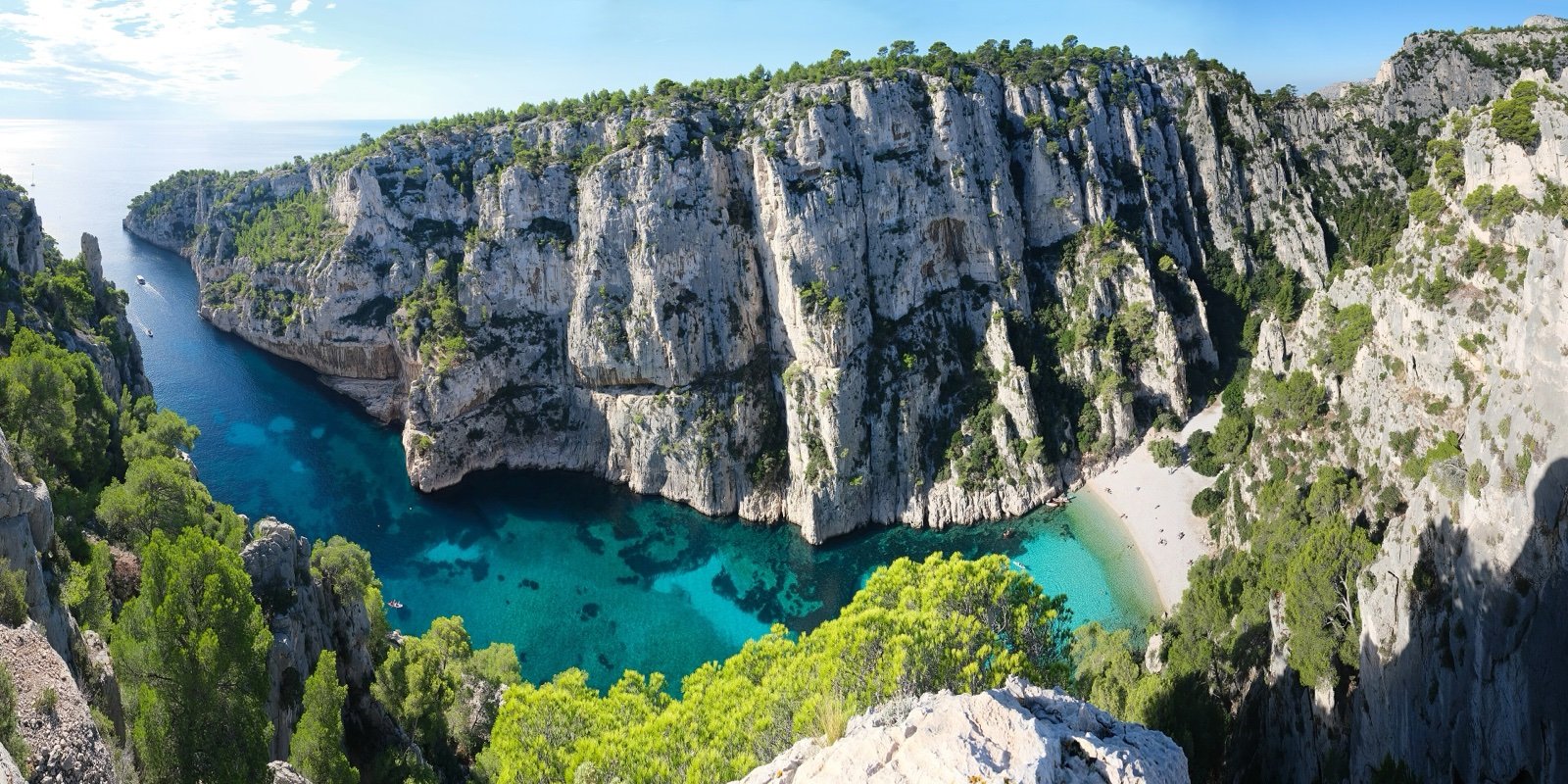
Calanques National Park
White limestone coves between Marseille and Cassis, reached on foot.46 mi awayNational park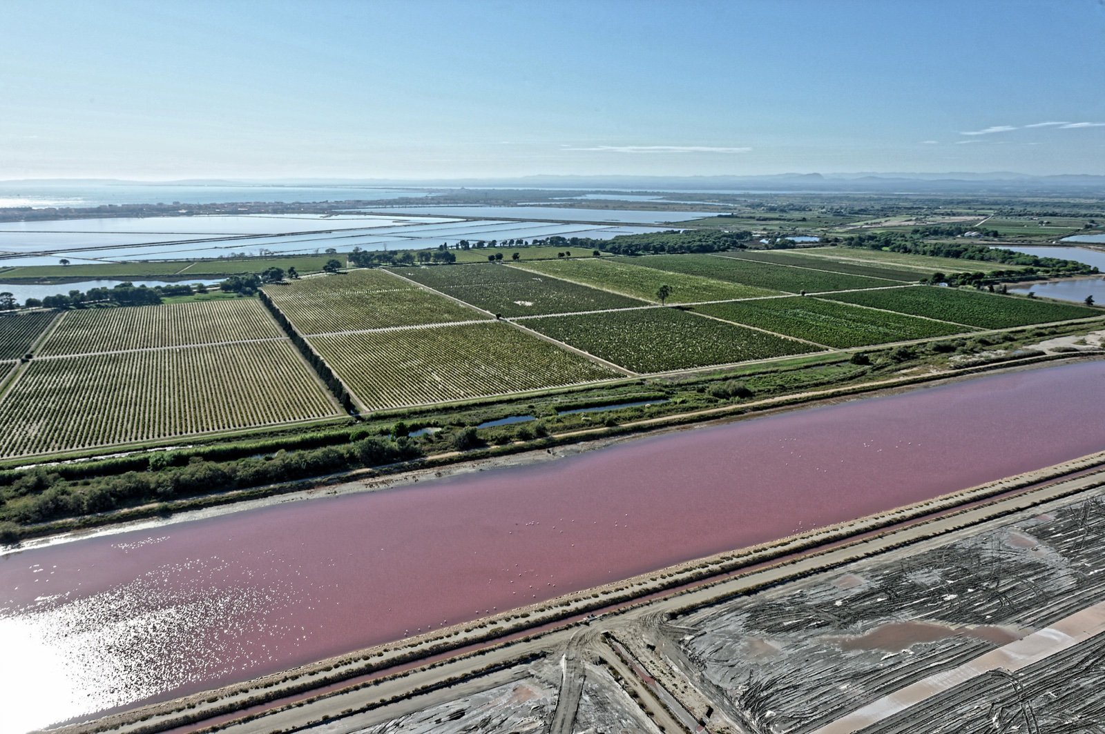
Parc naturel régional de Camargue
150,000 birds a year fly over lagoons, rice fields, bulls and horses.47 mi awayRegional nature park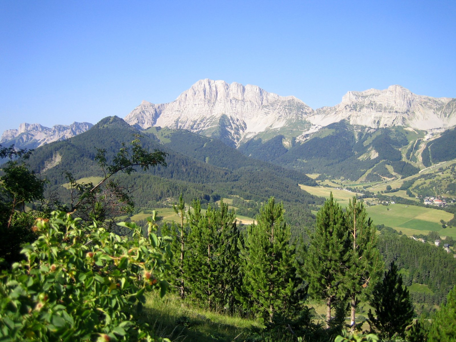
Vercors Regional Natural Park
4 vultures, every species seen in France, soar above the high plateaus.72 mi awayRegional nature parkSources
6 sources
- Luberon Regional Nature Park consulted on October 16, 2026
- Parc naturel régional du Luberon consulted on October 16, 2026
- Fédération des Parcs naturels régionaux de France consulted on October 16, 2026
- OpenStreetMap consulted on October 16, 2026
- Wikidata consulted on October 16, 2026
- Wikipedia consulted on October 16, 2026