

Écrins National Park
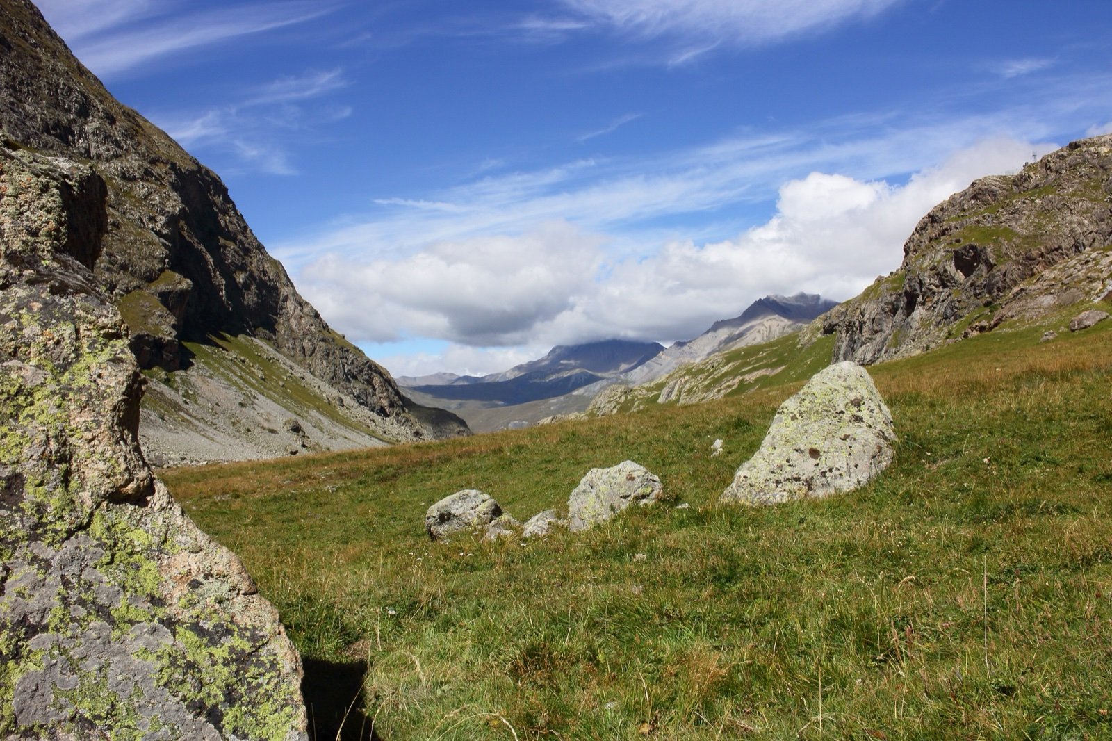
High Alps between Grenoble, Gap and Briançon: 150 summits above 3,000 m, glaciers, the Barre des Écrins at 4,102 m and seven large valleys around the massif.
- 359 mi²Area
- 2,297 ft to 13,458 ftElevation
- 1973Established
At a glance
- 150 summits above 3,000 m and glaciers
- Highest point: the Barre des Écrins, 4,102 m, with the park starting at 700 m
- Nearly 750 km of maintained, signposted paths and about forty refuges
- Home of France’s first integral nature reserve, created at the Lauvitel in 1995
- Holder of the Council of Europe’s European Diploma of Protected Areas since 1990
- Dogs are banned in the core, even on a lead or carried
Where to stay
Hotels, guesthouses and rentals around Écrins National Park
Check availability with our partners
Affiliate links: if you book through them, we earn a commission. The price you pay does not change. How this site is funded
Mountain huts
Refuge de l'Aigle
11,319 ft · 30 beds
Run by Club alpin français de Briançon
Refuge de l'Olan
54 beds · booking required
Refuge de Temple Écrins
48 beds
Refuge des Écrins
10,400 ft · 116 beds · booking required
Refuge du Glacier Blanc
8,366 ft · 131 beds
Refuge du Pelvoux
8,871 ft · 54 beds
Refuge du Promontoire
32 beds · booking required
Refuge du Sélé
8,238 ft · 76 beds
Nearby villages and towns
BriançonClosest
19 mi as the crow flies
See hotelsGap
22 mi as the crow flies
See hotels
Larger cities further away
Grenoble
35 mi as the crow flies
See hotels
How the visit runs
Vallouise and the Glacier Blanc
The park’s transport page lists a summer shuttle from L’Argentière via Puy Saint Vincent and Ailefroide to the Pré de Madame Carle, the start of the climb to the Glacier Blanc. Since the flood of 27 and 28 August 2026, the road is cut beyond Ailefroide; the park’s notice of 4 September says the site can still be reached on foot by the sentier de la Poire. The Pelvoux and Sélé refuges are reached from Ailefroide.
Valgaudemar and the Gioberney
The park’s transport page lists a summer shuttle between Saint-Firmin and the Gioberney (its timetable page dates from 2021, so check it). Vehicle access is kept up to a car park near the Gioberney refuge.
Oisans: Lauvitel and La Muzelle
The Oisans holds the lakes of Lauvitel and La Muzelle and the path to the Selle refuge at Saint-Christophe-en-Oisans. Le Bourg-d’Oisans is one of the two starting points of the GR 54.
The Grand Tour des Écrins
A multi-day trek built on the GR 54, the tour of the Oisans and the Écrins around the highest summits. The park’s page says it can last “two days or fifteen” and gives no standard length. Starting from L’Argentière-la-Bessée adds two days compared with Le Bourg-d’Oisans.
Three gateways into the high Écrins
| Gateway | Valley | What starts there | Summer shuttle |
|---|---|---|---|
| Ailefroide and the Pré de Madame Carle | Vallouise | The climb to the Glacier Blanc; the Pelvoux and Sélé refuges | From L’Argentière via Puy Saint Vincent (road cut beyond Ailefroide since August 2026) |
| The Gioberney | Valgaudemar | Car park near the Gioberney refuge, dogs allowed on a lead | From Saint-Firmin (2021 timetable page) |
| Le Bourg-d’Oisans and Saint-Christophe-en-Oisans | Oisans | The GR 54; the Lauvitel and La Muzelle lakes; the path to the Selle refuge |
Source: Parc national des Écrins, transport, valley, dog and GR 54 pages, and its flood notice of 4 September 2026 (read October 2026).
Core and area of adhesion
| Zone | Area | What applies |
|---|---|---|
| Core | 93,000 ha | The park’s regulations: no dogs, no camping, no fire, no motor vehicles |
| Area of adhesion | 159,600 ha on the key-figures page, 160,600 ha on another park page | The park’s charter, signed by 49 of the 55 communes |
Source: Parc national des Écrins, key figures and regulations (read October 2026).
Before you go
- Flood damage: the floods of 27 and 28 August 2026 cut roads and swept away footbridges in the Vallouise and the Oisans. The park’s notice of 4 September says most paths remain passable with care, and asks walkers to check conditions before setting out.
- Bivouac: from 7pm to 9am, more than one hour’s walk from road access and the edge of the core, one night per site, in a small tent you cannot stand up in.
- Bivouac exceptions: the one-hour distance from the edge of the core does not apply at the Pré de la Chaumette and around the Olan refuge. At La Muzelle and Lauvitel, bivouac is banned within 500 m of the shore except in the signposted zones.
- Stoves: a small gas stove is tolerated; alcohol, petrol and wood stoves are banned. Pour waste water more than 50 m from lakes and streams.
- Refuges: about forty in the massif, most of them in the core. Phone ahead to book a bed and meals.
- Dogs are allowed on a lead only where the road is open to the public: the Gioberney, Fourronnière, Pré de Madame Carle, Dormillouse and Confolens-le-Bas car parks, the route de l’Envers at La Grave, the Vieux Chaillol track and the path to the Selle refuge.
- Drones: motorised overflight below 1,000 m is forbidden without the director’s permission, and drones of any size count as motorised aircraft. Boats and other water sports craft are also banned in the core, to keep introduced species out of the lakes.
- Picking: for family use, a list of berries (bilberry, wild strawberry, raspberry and a few others) up to 1 kg per person per day with no tool such as a comb, edible mushrooms up to 5 litres, génépi 100 flowering stems for three of its four species. Picking woolly génépi is forbidden.
- Mountain bikes are banned in the core except on four routes (Valgaude, Fourronnière, Roy de Molines and the Ardoisières path at La Grave), when free of snow.
What is allowed
| Topic | Rule | Source |
|---|---|---|
| Wild camping (bivouac) | Restricted | Parc national des Écrins |
| Camping | Not allowed | Parc national des Écrins |
| Fires | Not allowed | Parc national des Écrins |
| Dogs | Not allowed | Parc national des Écrins |
| Drones | Not allowed | Parc national des Écrins |
| Cycling | Restricted | Parc national des Écrins |
| Motor vehicles | Not allowed | Parc national des Écrins |
| Picking plants | Restricted | Parc national des Écrins |
| Hunting | Not allowed | Parc national des Écrins |
Rules checked with the site manager on October 7, 2026. They can change at short notice: check before you go.
How to get there
Écrins National ParkPlaces to stay in the parkGateway towns
A short-lived national park of La Bérarde existed from 1913, sixty years before the decree of 27 March 1973 that made the Écrins the fifth national park in France. Mountaineers, naturalist associations and the Club Alpin Français pushed for it. The park spans two departments, the Hautes-Alpes and the Isère, and has its seat in Gap.
Its outline roughly follows the valleys around the massif: the Romanche to the north, the Guisane and the Durance to the east and south, the Drac to the west. Seven large valleys structure the massif:
- The Briançonnais, the Vallouise and the Embrunais
- The Champsaur, the Valgaudemar and the Valbonnais
- The Oisans
Beyond the core, an area of adhesion brings together the communes that chose to sign the park’s charter: 49 out of 55.
A climbers’ massif that is also a summer pasture
The Écrins is a high mountain park, yet much of it is grazed. In summer, 104,000 hectares of alpine pasture feed more than 115,000 sheep, along with cattle, goats and horses. Horses are allowed in the core, while horse-drawn vehicles are forbidden.
The park itself counts 2,500 plant species and more than 350 vertebrate species. French Wikipedia names the emblematic ones:
- Animals: chamois, ibex, marmot, golden eagle, rock ptarmigan, bearded vulture and black grouse.
- Plants: the alpine sea holly, the lady’s slipper orchid, edelweiss and génépi.
Lauvitel, crystals and a European Diploma
Two distinctions and one court case mark the park’s record on protection:
- 1990: the Council of Europe awards the park its European Diploma of Protected Areas, renewed in 2010.
- 9 May 1995: the park creates at the Lauvitel the first integral nature reserve in France.
- 2011: people who had taken nearly 20 kg of rock crystals are found guilty by the court in Gap, minerals and fossils being strictly protected.
Paths rebuilt every summer
The park and the ONF forestry office, in agreement with the communes concerned, maintain the paths of the core, 435 mi according to the park’s FAQ. The network changes with the season:
- Half the footbridges, 60 out of 120, are put up before summer and taken down before winter.
- The park’s hiking portal, Destination parc national des Écrins (formerly Rando Écrins), offers 200 detailed route sheets.
- 175 walking and mountain bike routes run outside the core.
- The edge of the core is marked by blue, white and red flags painted on rocks or on wooden signs.
According to French Wikipedia, the refuges recorded more than 53,000 overnight stays in 2023, and the park’s seven visitor centres and five seasonal information points (in 2023) received 79,550 visitors in summer 2023.
Frequently asked questions
Can you wild camp in Écrins National Park?
Camping is forbidden, but bivouac is allowed from 7pm to 9am, more than one hour’s walk from roads and the edge of the core, for one night per site in a small tent.
Are dogs allowed in Écrins National Park?
No, not in the core, even on a lead or carried. Herding and protection dogs, guide dogs and avalanche search dogs on a mission are the exceptions, and a few car parks and paths accept dogs on a lead.
How do you get to the Glacier Blanc?
On foot from the Pré de Madame Carle. Since the flood of 27 and 28 August 2026 the road is closed beyond Ailefroide, and the park’s notice of 4 September says the site is still reachable on foot by the sentier de la Poire, with a ford where the Glacier Noir footbridge was swept away. Check conditions with the park before going.
How long is the Tour des Écrins?
The park gives no standard length: its page for the Grand Tour des Écrins says only that it can last “two days or fifteen”. On the GR 54, starting from L’Argentière-la-Bessée takes two days more than starting from Le Bourg-d’Oisans.
Can you drive into Écrins National Park?
Only on a few roads. Motor traffic is forbidden in the core, including on roads and tracks, except on the route de l’Envers at La Grave, the Confolens road and the way to the car parks set out near the Confolens-le-Bas hamlet, the Gioberney and Fourronnière and the Pré de Madame Carle.
Can you fly a drone in Écrins National Park?
No. Drones of any size count as motorised aircraft, and motorised flight below 1,000 m over the core needs the director’s permission.
Can you pick mushrooms in the Écrins?
Yes, edible wild mushrooms for family use: up to 5 litres per person per day, without taking every specimen. Plants, minerals and fossils may not be taken from the core, apart from a few listed berries and génépi species.
Other protected areas nearby
Vercors Regional Natural Park
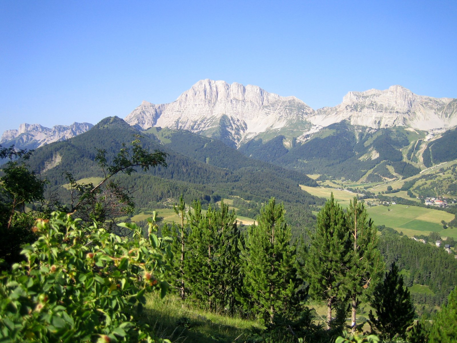
4 vultures, every species seen in France, soar above the high plateaus.41 mi awayRegional nature park
Vanoise National Park
1963: France’s first national park, created to save the ibex.43 mi awayNational park
Mercantour National Park
40,000 rock engravings around Mont Bego, from about 3300 BC.62 mi awayNational parkSources
8 sources
- Esprit parc national (Parcs nationaux de France) consulted on October 7, 2026
- Parc national des Écrins consulted on October 7, 2026
- Atout France (France.fr) consulted on October 7, 2026
- OpenStreetMap consulted on October 7, 2026
- Wikidata consulted on October 7, 2026
- Wikipedia (de) consulted on October 7, 2026
- Wikipedia (en) consulted on October 7, 2026
- Wikipedia (fr) consulted on October 7, 2026